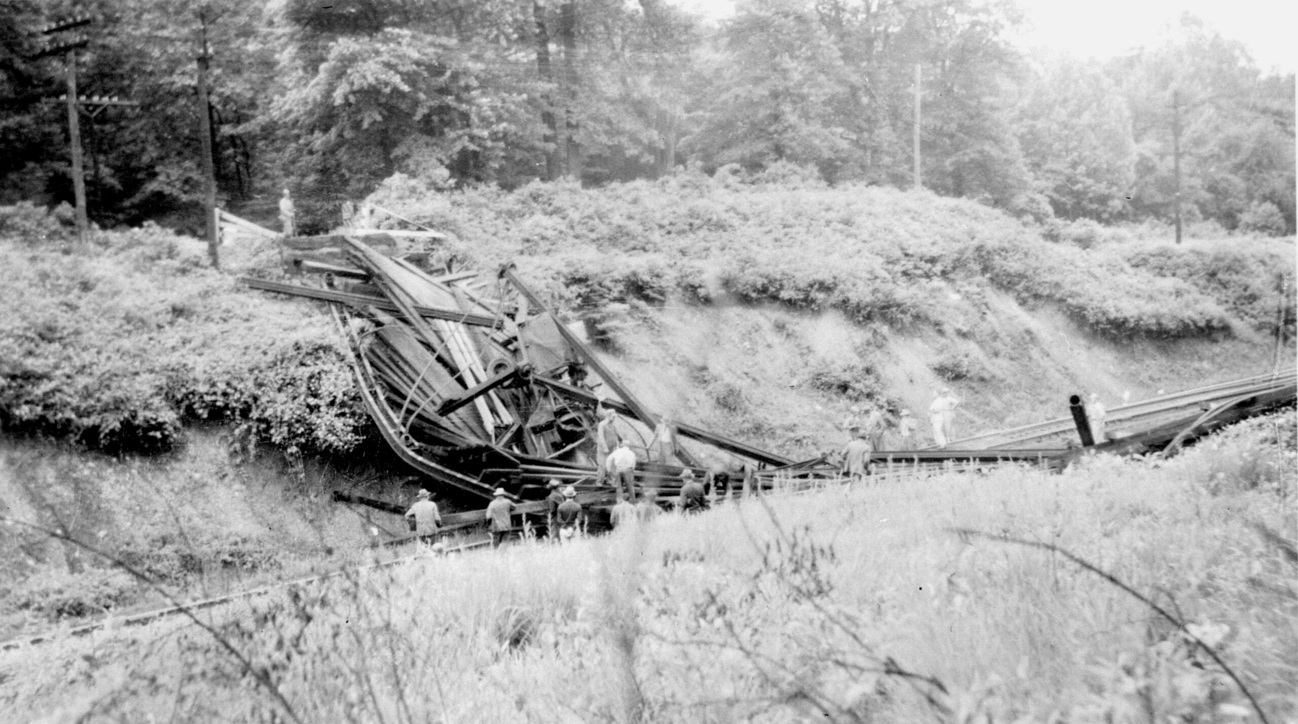
By Mary Lipsey and Debi DeLoose. In the late 1800’s an iron truss bridge was…
Historic Maps of Burke, No. 1
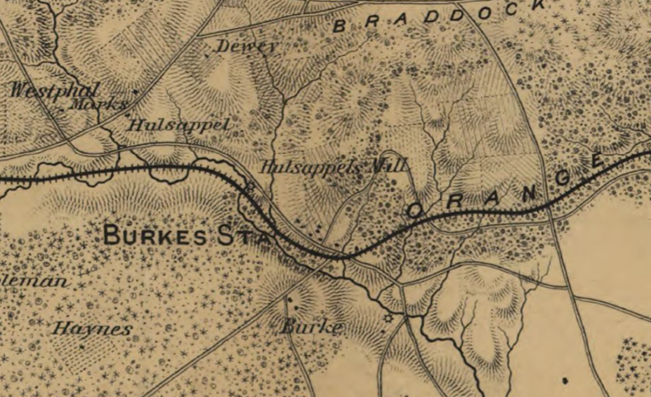
In 1862, the United States was in the middle of a civil war. Maps were a key part of fighting an effective and strategic war. This map was created by engineers working for General Irwin McDowell, a career soldier of the United States Army and the chief commander of the troops at the Battle of 1st Bull Run (or 1st Manassas).
This map is a small part of the whole map encompassing Northern Virginia. At the time that this map was drawn, Burke’s Station was a small crossroads, serving primarily as a rail stop of the Orange and Alexandria (O&A) Railroad and the site of two merchant grist mills, Burke’s Mill and Holsapple’s Mill. Both mills processed corn and wheat for meal and flour. These mills are depicted on the map as circles with extending spokes. The map also features the O&A RR as a darkened line with hatch marks. Roads are depicted, including some that exist to this day, particularly Braddock Road (at the top of the map clip).
The dotted pattern indicate wooded areas and clear indicates cleared fields.
The dots immediately above “Burke” indicate Woodbury, Col. Silas Burke’s house. Not shown, but existing at the time in Burke were Col. Burke’s brick yard and lumber mill.
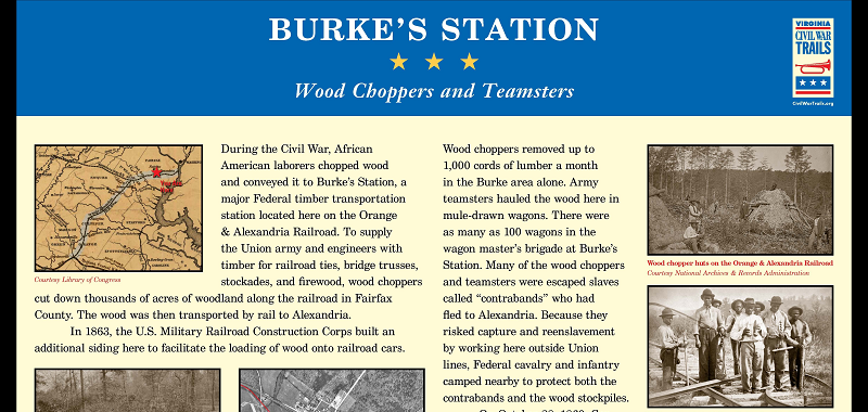
Related Posts